


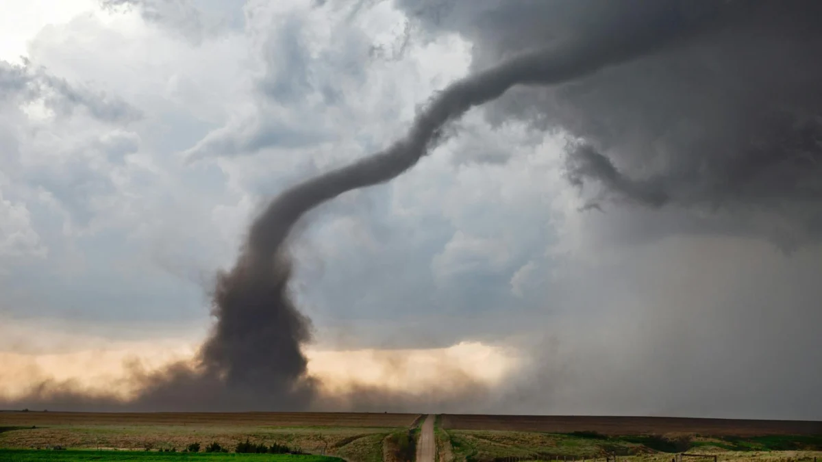
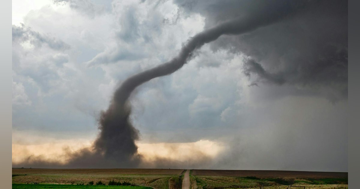
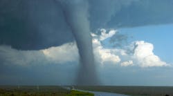
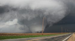
Imagine standing on the precipice of a sweeping, slate-gray supercell thunderstorm rolling across the plains of Oklahoma. The air is thick, humid, and heavy with the electric hum of impending severe weather. Elite storm chasers trail the volatile edge of the storm, tracking its every movement until a violent, rotating column of air drops from the clouds—a tornado begins to form.
Instead of retreating to a safe distance, an elite pilot launches a specialized unmanned aerial vehicle (UAV). The drone cuts through the blinding rain and extreme wind shear, flying directly into the heart of the roaring funnel.
This is not a scene from a Hollywood disaster film. It is the operating model of The OTUS Project (Observations of Tornadoes by UAV Systems), a pioneering initiative designed to fly custom-engineered drones straight into tornadoes to capture unprecedented atmospheric data. By marrying extreme meteorology, cutting-edge aerospace engineering, and advanced drone racing agility, this multidisciplinary team is redefining how humanity studies the most violent and elusive weather phenomena on Earth.
Main Facts: The Intersection of Drones and Severe Weather Research
Tornadoes remain among the most destructive and least understood weather events on the planet. According to the National Oceanic and Atmospheric Administration’s (NOAA) National Severe Storms Laboratory, despite decades of meteorological advancements, tornadoes are notoriously difficult to predict. They materialize unpredictably, account for billions of dollars in structural damage annually, and routinely claim lives. Traditional ground-based mobile observation units, while valuable, are fundamentally limited; they can only measure conditions near a tornado, rarely capturing the internal dynamics of the vortex itself.
The OTUS Project seeks to bridge this critical data gap. Established by a powerhouse team of meteorologists, aerospace engineers, and champion drone pilots, the initiative aims to:
- Capture In-Situ Data: Measure direct thermodynamic responses (temperature, pressure, and humidity) and 3D wind speeds from deep inside active tornado funnels.
- Improve Predictive Models: Feed high-fidelity, high-speed atmospheric data into national forecasting models to extend warning lead times.
- Enhance Structural Resilience: Utilize collected wind loads and thermodynamic insights to inform civil engineering standards and protect human lives and property.
Operating at the absolute bleeding edge of technology, the project has successfully intercepted 10 tornadoes across 13 high-risk drone missions—a feat previously thought impossible due to the sheer mechanical and aerodynamic hostility of a tornado’s interior.

Chronology: From Concept to the First Tornado-Bound Drone
The rapid evolution of The OTUS Project highlights what is possible when niche technical disciplines converge under a singular, high-stakes mission.
Foundation and Multidisciplinary Expertise
The initiative was co-founded by a group of industry specialists:
- Nelson Tucker: Serving as founder and president, Nelson is a meteorology student at Millersville University and a researcher with Tornado Talk, bringing lifelong dedication to severe weather science.
- Louis Tucker: Serving as CEO and lead pilot, Louis is an elite aviator who claimed the title of 2023 National Collegiate Drone Racing Champion and led his school to victory again in 2024. His reflexes and precision handling proved that drone-based tornado interception was aerodynamically viable.
- Tanner Beard: An aerospace and spacecraft systems engineer responsible for designing the rugged, customized architecture of the OTUS drone fleet.
- Erik Fox: A retired U.S. Army veteran, meteorologist, storm chaser, and president of the National Storm Chaser Summit, Fox acts as the team’s safety lead and field operations expert, managing the calculated risks of intercepting severe weather.
The Inception and Rapid Deployment
Remarkably, less than three months after the formal establishment of The OTUS Project, the team successfully launched and flew its first UAV directly into an active tornado.
The mission methodology relies on a two-phase flight profile. First, the drone executes precise orbital patterns around the periphery of the funnel, gathering baseline data on the surrounding atmosphere at various altitudes. Once the telemetry and trajectory are locked, the drone dives straight into the vortex. By comparing the environmental data collected outside the funnel with the data harvested inside, scientists gain a comprehensive, 3D picture of tornado mechanics that ground sensors have never been able to achieve.
Supporting Data and Technical Innovation
Engineering a drone to survive the hyper-dynamic environment of a tornado—where rotational wind speeds can easily exceed 300 mph—presents staggering technical hurdles. Standard off-the-shelf commercial drones would be instantly shredded by the wind shear and debris field.
Rugged Custom Hardware
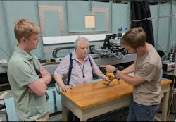
The OTUS Project fleet consists of hand-built, 3D-printed UAVs constructed for maximum structural resilience and agility. These aircraft carry specialized payloads that include:
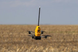
- Thermodynamic Sensor Suites: Capable of withstanding extreme pressure drops and rapid temperature shifts without failing.
- Flight Telemetry Systems: Designed to maintain stable communication links and orientation commands through heavy precipitation and electromagnetic interference typical of supercell thunderstorms.
- Custom 3D Wind Sensors: Developed in close collaboration with the National Institute of Standards and Technology (NIST).
Overcoming Sensor Limitations
According to updates published on the OTUS Project official website, capturing measurements inside a tornado requires near-instantaneous thermodynamic response times.
"Collecting measurements of temperature, pressure, humidity, and wind speed each have their own unique challenges and variables. A typical monitoring setup would be unable to collect useful information in the extraordinarily dynamic environment of a tornado, especially from a high-speed drone… Most of our efforts have been in developing our own 3D wind sensor in collaboration with the National Institute of Standards and Technology (NIST)… as there is no lightweight sensor on the market which can measure such intense winds."
The sensors must be meticulously engineered to strike a difficult balance: they need sufficient exposure to uncontaminated air to record accurate metrics, yet they must be heavily shielded from degrading environmental conditions, such as high-velocity debris and torrential rain.

Official Responses and Operational Hurdles
Executing missions inside severe weather zones is not purely an engineering challenge; it is a complex regulatory and logistical endeavor.
Regulatory Navigation
Operating UAVs in the United States requires strict adherence to Federal Aviation Administration (FAA) regulations. Commercial and recreational drone flights are typically bound by strict limitations: maintaining a constant visual line of sight, operating below 400 feet in uncontrolled airspace, and steering clear of populated areas or night operations.
Conducting advanced research involving beyond-visual-line-of-sight (BVLOS) operations and flights in extreme weather requires securing agency waivers. As the team notes, acquiring these regulatory exemptions in the fast-moving environment of storm chasing requires immense preparation and patience.
The Human Element and Scientific Transparency
Despite the hurdles, lead pilot Louis Tucker has successfully piloted drones through tornado-force winds over a dozen times. The team remains acutely aware of the weight of their research and the scientific community’s high expectations.
"We have collected incredible measurements that we are very eager to share with the wider world," the team shared in a statement. "Science, specifically for the benefit and safety of all people threatened by tornadoes, is what we exist for. We were founded with the goal of gathering measurements that will bring about real-world change, and that requires immense effort."
Rather than rushing unvetted numbers to the public, the project is currently focused on rigorous data validation. Once the scientific credibility and accuracy of the thermodynamic and wind-speed metrics are fully verified, the team plans to release their findings to the broader meteorological community.
Implications: The Future of Meteorology and Severe Weather Safety
The implications of The OTUS Project extend far beyond the immediate thrill of storm chasing. For decades, severe weather forecasters have relied heavily on radar technologies like Doppler radar, which scans precipitation droplets suspended in the air. While radar provides exceptional macro-level views of a supercell’s rotation, it cannot measure direct thermodynamic values—such as pressure and temperature drops—at the exact point of tornadogenesis.
By injecting physical probes via agile UAVs directly into the storm, OTUS is pioneering a new subfield of micro-meteorology. The downstream effects of this research could be profound:
- Extended Warning Times: Current tornado warning lead times average around 13 to 15 minutes. By understanding the thermodynamic triggers inside a forming funnel, meteorologists could potentially double warning windows, giving communities critical extra minutes to seek shelter.
- Next-Generation Sensor Technology: The lightweight, high-endurance sensors developed alongside NIST will likely pave the way for commercial and industrial weather instrumentation, improving atmospheric monitoring globally.
- Improved Infrastructure Guidelines: Structural engineers can utilize the precise 3D wind-load datasets captured inside tornadoes to design buildings, schools, and homes capable of withstanding higher structural stress.
As veteran storm chasers and engineers continue to witness the jaw-dropping footage and data returns of initiatives like The OTUS Project, it is clear that the future of meteorology is airborne. By pushing technological and aerodynamic innovation to its absolute limits, these modern pioneers are turning the terrifying chaos of a tornado into measurable, actionable science—ultimately paving the way for a safer, more resilient world.